Walpack/Delaware Water Gap weekend

  • Active since 1995, Hearth.com is THE place on the internet for free information and advice about wood stoves, pellet stoves and other energy saving equipment.

    We strive to provide opinions, articles, discussions and history related to Hearth Products and in a more general sense, energy issues.

    We promote the EFFICIENT, RESPONSIBLE, CLEAN and SAFE use of all fuels, whether renewable or fossil.
Status
Not open for further replies.

Badfish740

Minister of Fire
Oct 3, 2007
1,539
It's going to be a long week as I'm counting the days/hours until Saturday morning when I'll be heading up to the Kittattinny Mountains for a weekend of camping with some old friends I haven't seen in quite a while. For those of you who aren't familiar, the Delaware Water Gap is located in the northwest corner of the state where the Delaware River slowly cut a through an Appalachian ridge over the course of 450 million years. The Gap is a 72,000 acre National Recreation Area run by the National Park Service on both sides of the river. On the New Jersey side it's bordered by an additional 40,000 acres of public land, so it's one of the least populated and most wild parts of the state. The interesting thing about the region its also one of the longest settled parts of the state. The Dutch made their way out to the Water Gap area in the early 1600s in search of copper, among other things, and ended up building the Old Mine Road (said to be one of the oldest established roads in America), paralleling the Delaware north to New York. Over the years various plans had been made to dam the Delaware for flood control and water supply reasons, with a growing New York City, Philadelphia, and Northern NJ region all vying for water in the late 1800s to 1930s. This finally culminated in the proposed Tocks Island Dam project, which was authorized by Congress in 1962. The dam was never built for a variety of reasons, and the project died, but not before thousands were forced off of land and family farms that had been in the same hands for generations, and whole towns (Parhaquarra, NJ and Walpack, NJ and towns on the PA side) had been moved out.

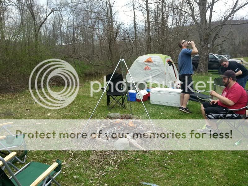
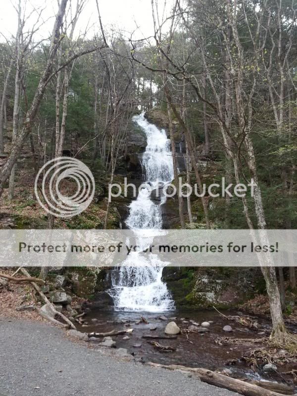
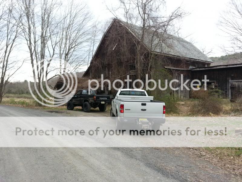
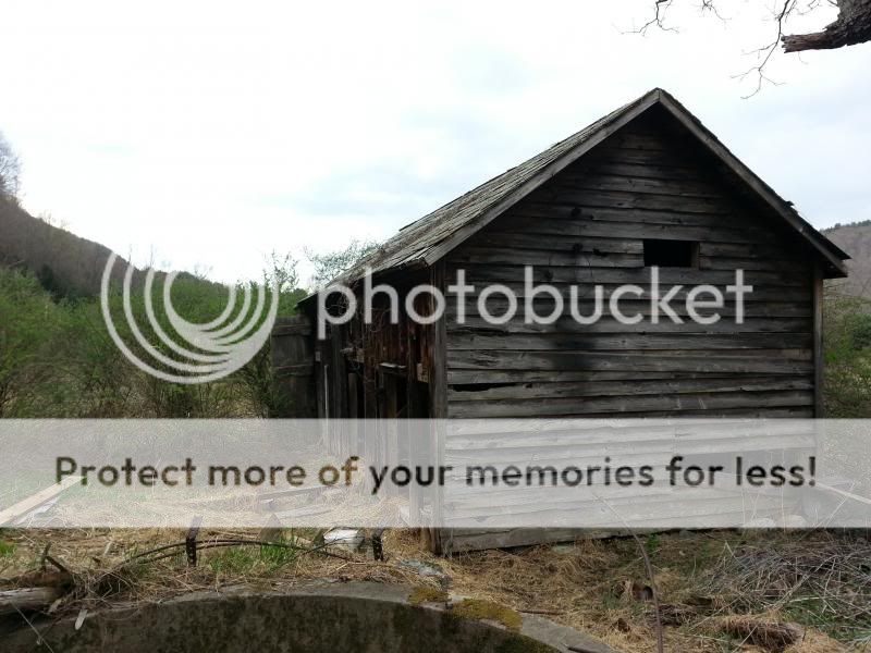
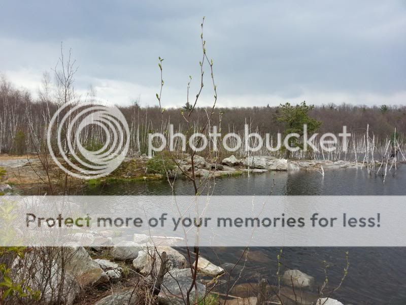
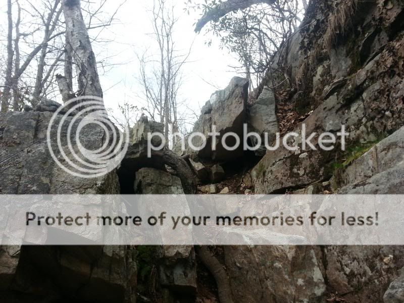
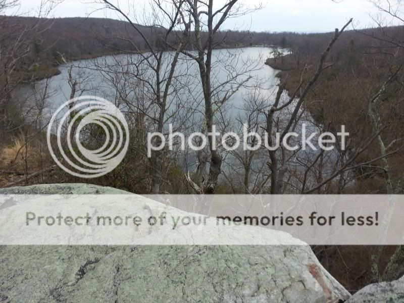
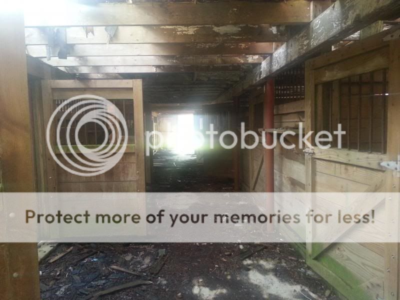
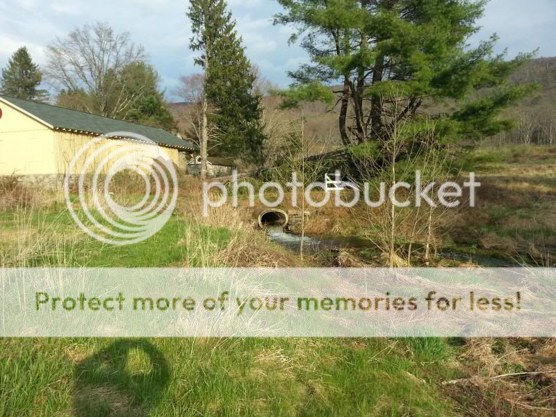
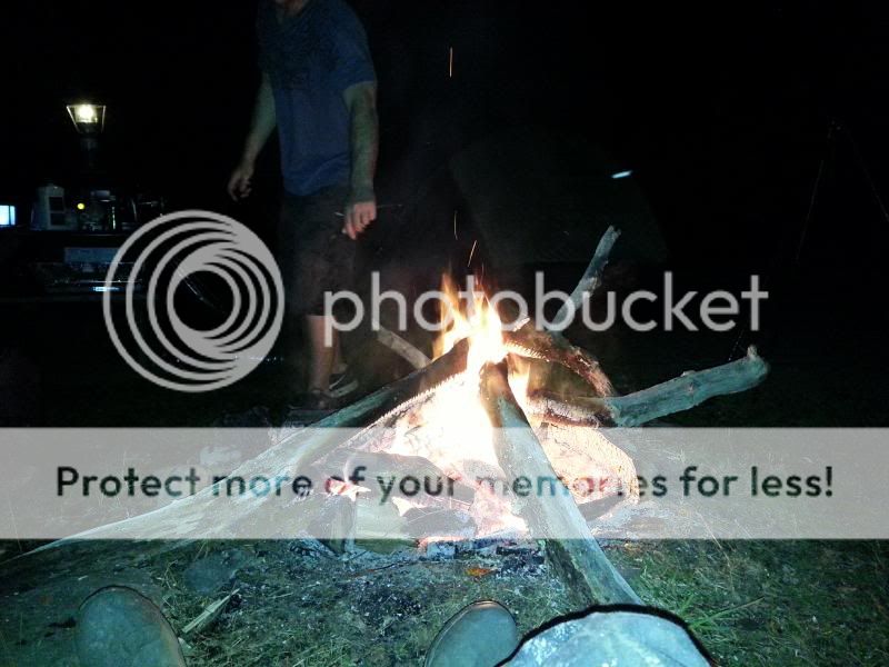
After the project died because of environmental concerns, public outcry over government land grabs, the lack of funds due to the Vietnam War raging, and questions surrounding the suitability of the geology of the area supporting a huge dam holding back a 12,500 acre lake 30 miles long and 1/2 a mile wide, the Army Corps of Engineers/National Park Service was left with 72,000 acres of land with vacant homes and farmsteads dotting the hills and valleys. They eventually turned the entire area into a park, preserving the land forever and keeping the Delaware one of the longest undammed rivers in the U.S., but, there's still quite a bit of bitterness by locals living in the surrounding area who were forced from their homes. Still, it's a beautiful place and there's nothing else like it in NJ. We'll be doing some exploring of old farmsteads, a complex of lakes which was once a collection of vacation camps, as well as the abandoned town of Walpack in between catching up and having a few cold ones around the fire. Pictures and trip report to follow!
 
Looking forward to the pics. The back ground story is a little disheartening though.

It is, but there are some bright spots. First, the area is at least preserved. Had the land all been in private hands during the late 1970s/early 1980s rural building boom when parts of NJ's rural counties became much more suburban, I shudder to think what it would look like now. Second, the reservoir was never actually built, so at least the Walpack/Minisink valley isn't underwater. Third, believe it or not some people still live there. Some residents of the town of Walpack banded together to fight the federal government in court and essentially ran out the clock on the project. As a result they kept their land which is now surrounded by a National Recreation Area. The current population of the town is 14 people-most are original residents, or descendants of the folks who were there when the dam project was underway. They are free to keep their land in private hands. It is a sad history, but it's also one of the most beautiful and wild parts of NJ. For me, the history is as much a draw as the landscape.
 
  • Like
Reactions: Jags
Hope you make it to sunfish pond. Haven't been up there since the late 80's but it was always a nice hike.

We'll be well north of Sunfish, but may make it down there. The outcry around the proposed destruction of Sunfish Pond in the late 1950s/early 1960s as part of a pumped storage power station scheme connected with the dam project helped to kill it altogether. Sunfish is a glacial pond which was formed during the last ice age. It's actually located in Worthington State Forest, which is contiguous to the Water Gap NRA. The area around Sunfish is largely wilderness as it was the private hunting grounds of the Worthington family until they sold it to the state. Further north where we'll be there is a lot of evidence of former timber, mining, and agricultural operations that were very active from the Civil War period to the turn of the 20th Century.
 
Used to drive all around the Walpack area with my grandfather as a kid. Grew up about 30 or so miles from there in Hackettstown.

Cool-small world! AFAIK back in the 80s there were still about 60 people living in Walpack-what was it like back then?
 
Don't remember seeing a lot of people but I was only 12 in 1980 and just enjoying the ride with gramps. Back road riding, telling stories, and fishing was the theme. Well, that's what he told me it was anyway. Turns out it was just to get away from gram. ;)
 
We got to the campground around 11:00 but we had to wait for the owner to get back because the Wednesday rainstorm flooded out a lot of the wooded campsites along the Flatbrook. He showed us where we could set up-we made camp and got a little lunch going:

20140503_132611_zpsb2ba95d7.jpg


We hit Buttermilk Falls first because none of them had ever been there before:

20140503_150331_zps5801f3b5.jpg


Then checked out an old cow barn across from the white house on Mountain Road-the Walpack valley used to be big dairy country:

20140503_151642_zpse0d8f975.jpg


20140503_151127_zps28053ad6.jpg


Small waterfall across the road beside the white house-it amazes me how much stonework was done to guide the flow of water and that it's still there after all these years of heavy runoff and flooding:

20140503_151510_zps1f8e1191.jpg


20140503_151547_zps4c20e001.jpg


Then up to Skyline Drive:

20140503_154103_zps7cefda6d.jpg


"Lake" Success (the first one you come to on Skyline on the way to Crater) is looking more like a lake again even though the NPS drained it sometime in the late '90s/early 2000s. Some beavers got to work and raised the water level about 6'. It was spilling over due to the heavy rains:

20140503_171125_zps3e883c28.jpg


20140503_171130_zpse91419c7.jpg


Caught dinner at Crater ;lol

20140503_155912_zps369f2ce4.jpg


And then hiked around to the cliffs on the northeast side:

20140503_161608_zpsc3d9861f.jpg


The rock face looks tough to climb but it's not:

20140503_162737_zpsc2a00d26.jpg


Nice view from the top:

20140503_163251_zps9bd9b375.jpg


Back down in the Valley to the Shoemaker Farm:

20140503_181616_zpsa6372671.jpg


Someone was apparently renting the property from the NPS until about 2007 according to a friend of my wife's who lives in Stillwater, hence the fairly recent improvements to the horse barn:

20140503_181159_zpsb6c1cd73.jpg


The outlet of the stream that tore up the lane going into the farm-this is the one that originates from the pond on top of the ridge where I was hoping to be able to drive through to but was stopped by the gate on Woods Road:

20140503_181229_zps42c32cfe.jpg


Took a small detour on the way back to camp to an area where the Flatbrook-Roy WMA and the Gap border each other. There's a decent hillclimb or two but it doesn't really go anywhere. Couldn't snap any pictures while I was driving:

20140503_184621_zpsde2b5522.jpg


Back to camp-mmmm...burgers, brats, and beer...

20140504_000210_zps1e8307e5.jpg


It rained a little which kind of sucked but it passed over before we really got soaked. I hit the sack first because I had been up since 5:00 a.m. and passed out. My buddies said they're pretty sure that if there were any bears in the area (we saw a big one at Crater) they probably cleared out because once I got to snoring I sounded like a big one ;lol It's nice having a four man tent all to yourself.
 
Day two-broke camp and headed out to Stokes State Forest-15,000 acres of adjoining state land:

20140504_105611_zps0f919472.jpg


20140504_110845_zps04381e71.jpg


20140504_110850_zps299b4ccb.jpg


After that we found what we ended calling the "Beaver Pond trail." Some beavers had raised the water level of a bog up over the roadway making the holes seem a lot worse than they were. A Jeep headed in the other direction did get stuck briefly. We hung around for a minute to see if he needed help but he was able to back out and get through on his own:

20140504_113922_zps55e56ad8.jpg


Stopped to wet a line in a small pond off of Shay Road:

20140504_114858_zps2a8c9b04.jpg


This was the roughest road by far-I idled through a lot of stuff in 1st/4LO just because it felt like the truck would rattle apart if I went any faster:

20140504_120703_zpsbdf77e38.jpg


My heavy duty rear springs are great for hauling firewood-not so good for uneven terrain ;lol

20140504_121045_zps574fe3ba.jpg


Obviously none of this is hardcore off roading, but it was a great couple of days out in the woods.
 
Ya know how to pick a SMART Ford owner out of a crowd?

He goes places with somebuddy that's got one of these

smart.jpg
 
Last edited by a moderator:
Great pics. Thanks for sharing.
 
Ya know how to pick a SMART Ford owner out of a crowd?

He goes places with somebuddy that's got one of these.

;lol Yup-we share similar taste in trucks. Mine is a '91 with 170K miles, 2" of lift/32" mud terrains.
 
Status
Not open for further replies.